This is an old revision of the document!
Table of Contents
Under Construction – Patrick, VA7FI 2022/12/31 08:25
OpenStreetMap
OpenStreetMap (OSM) is like Wikipedia for maps. It's built by the community using aerial imagery, GSP devices, or existing public domain maps. The maps can be viewed or edited online in a browser, or using various apps.
Some links
- Viewing the Maps: osm.org or openstreetmap.org
- App for Android, iPhone, Linux: https://organicmaps.app
- Editing Info: https://wiki.openstreetmap.org
Advantages
Up-To-Date
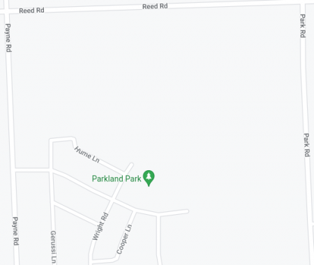
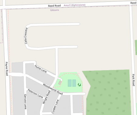
One advantage of OSM (on the right) is that maps get updated more quickly than Google Maps (on the left). For example, here's a new street that I added in Gibsons over a month ago:
More Trails
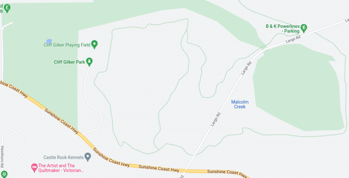
There are also a lot more trails in OSM than Google Maps. Here's the golf course and Cliff Gilker park in Roberts Creek:
Different Layers
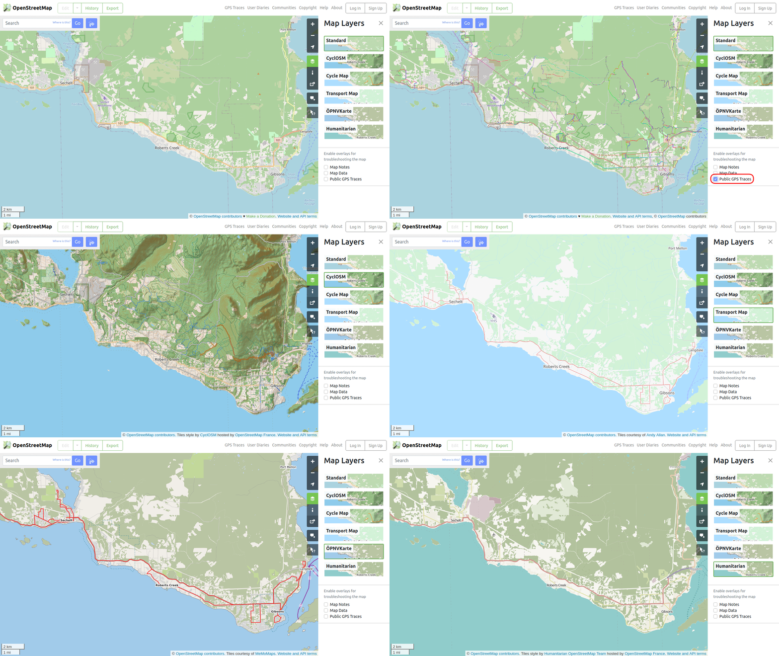
OSM also has different layers, which highlight different information. For example, the CycleOSM and Cycle Map add topographical information, and Public GPS traces uploaded by the community can be added to any layer.

Offline
The biggest advantage (from an emergency preparedness perspective) is that OSM can be used offline using various apps.


